Bolivia
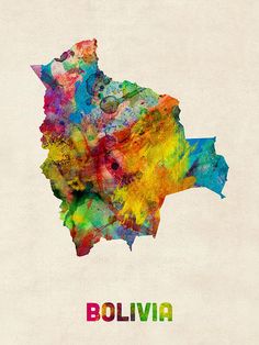
Bolivia is divided into three geographical ensembles.
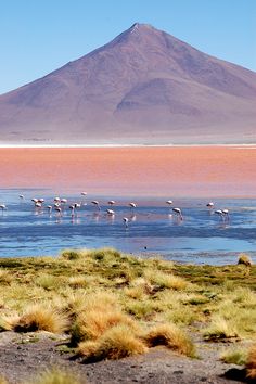
The Andes cover the south-west part of the country. It is made up of a plateau which is bordered by 2 mountain ranges. Over on the West side, the occidental mountain range is mostly volcanic and marks the border with Chile, including the Sajama National Park and the Licancabur volcano in the Sud Lipez. Over to the East, the Royal mountain range is distinguished by eternal snows and many summits of an altitude over 20,000 feet (6000 meters), including the Illimani, which dominates La Paz. Between the two mountain ranges, the Andean plateau is vast, and its altitude is around 13,000 feet (4000 meters). The Andean plateau is more or less green in the Lake Titicaca region, on the Peruvian border, and much drier in the south of the country, where you’ll find the famous Uyuni Salt Flats and the Sud Lipez lagoons.
The sub-Andean region is located immediately to the East of the Royal mountain range and the Andean plateau, and boasts altitudes between 3000 and 10,000 feet (1000 and 3000 meters). It marks the transition between the Andes and the Amazonian plains, and is home to agricultural valleys with agreeable climate such as the ones around the cities of Sucre, Tarija and Cochabamba, as well as the Yungas to the north of La Paz, some tropical valleys where the dizzying “Death Road” is located.
The plains cover 60% of the country’s surface, in the North and the East. In the North, these are dominated by the dense and luxurious Amazonian forest, which constitutes one of the most biodiverse regions on the planet. This region is difficult to access, travelers can only reach it by airplane or by boat. Different lodges will take you around this unique environment. To the East, in the region of Santa Cruz, the forest gives way to some great agricultural and livestock farming plains, as well as some swamp areas such as Gran Chaco, on the border with Paraguay.


Follow us!